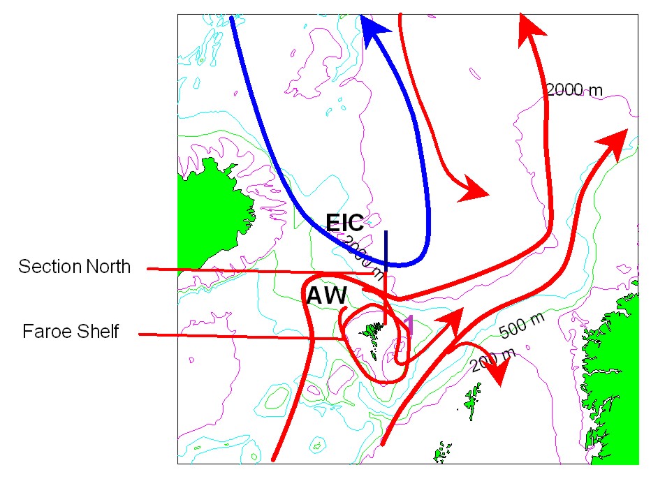
| Figure 1: Map illustrating the locations of the Faroe Islands shelf and Norwegian Sea transect (south is red, north is black). |
| Figure 1: Map illustrating the locations of the Faroe Islands shelf and Norwegian Sea transect (south is red, north is black). |